Ptolemy's Ancient Geography
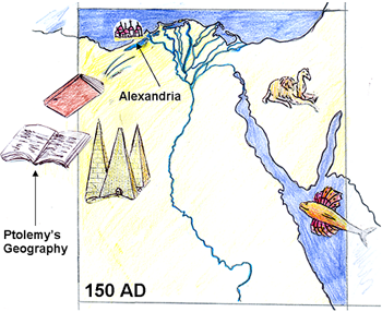
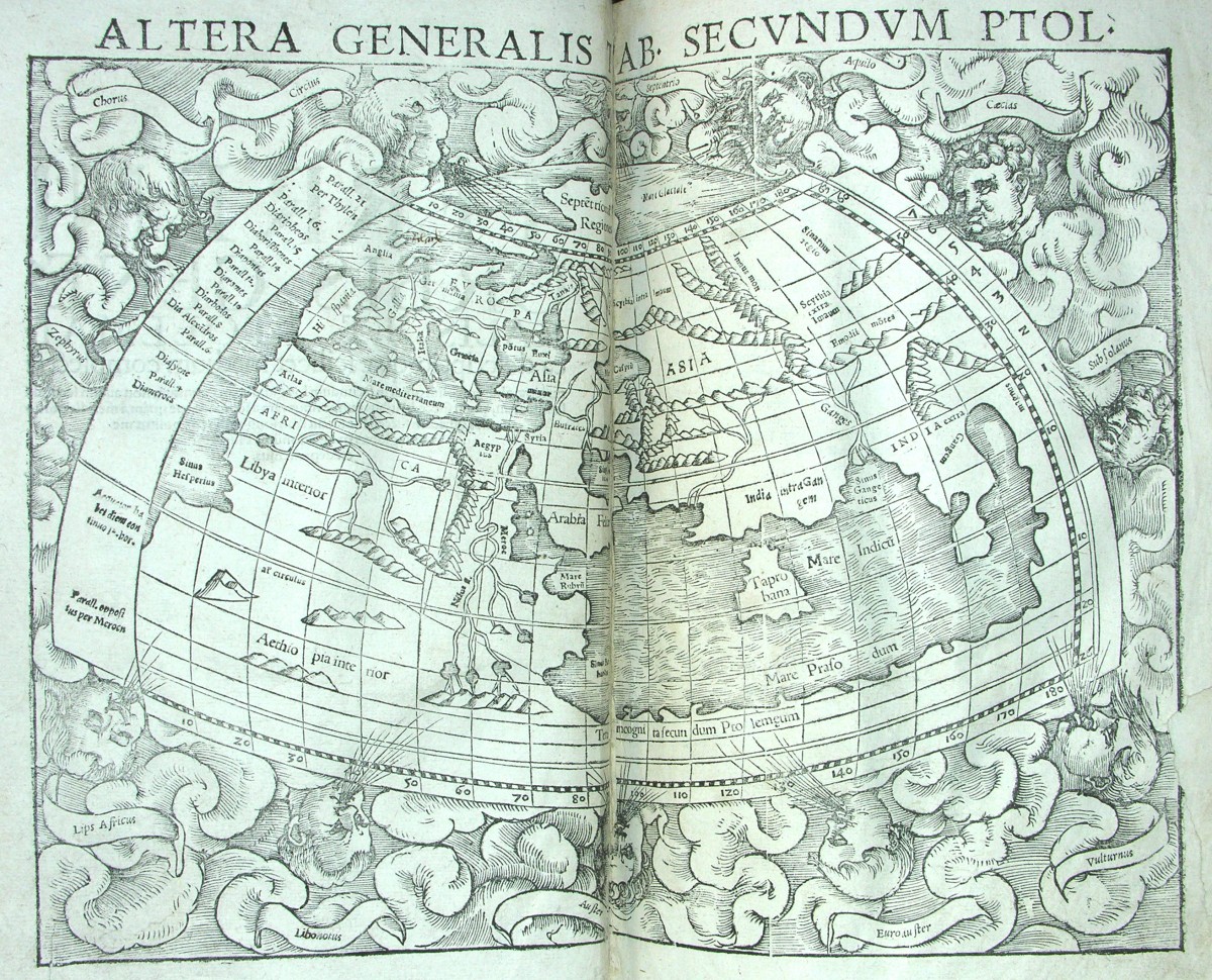
Ptolemy was the greatest geographer of ancient times. The map below shows the world as Ptolemy described it.
Ptolemy lived and worked in Alexandria, the Greek and Roman administrative capital of Egypt.
His great work on geography and mapmaking, called the Geography, appeared around the year 150 AD. It influenced philosophers and scientists for 1500 years.
Ptolemy was a great mapmaker
He...
- used latitude and longitude to fix the location of places
- mapped 8000 place names this way
- split the world map into regional maps to show more detail
- looked at the problem of how to draw the spherical earth on a flat piece of paper
- put north at the top of the map
but he made mistakes
He...
- believed that the Indian Ocean was enclosed by the joined coasts of Africa and Asia
- thought it was impossible to reach India and China by sailing around Africa
- underestimated the size of the earth by almost 7,000 miles